



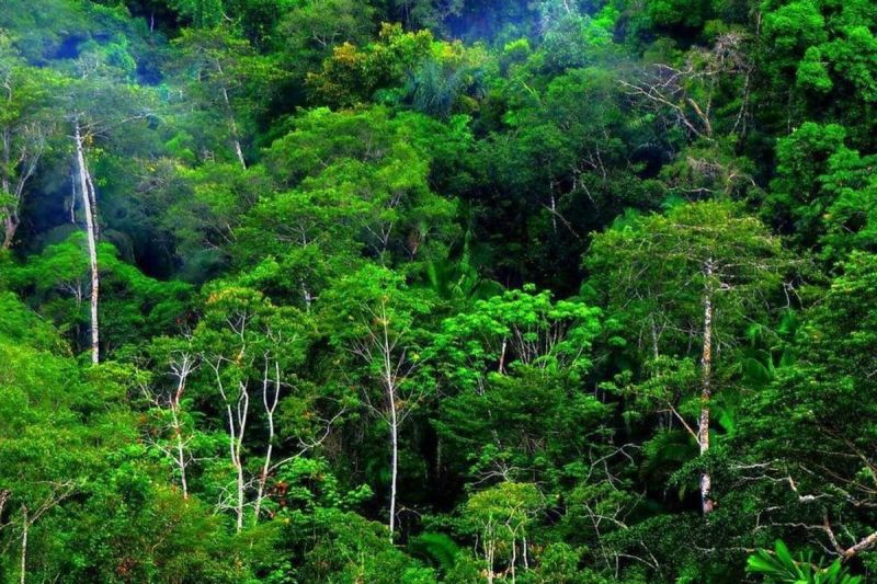
The West Papua Provincial Government – through the Forestry Office – is currently updating forest and water area maps across seven regencies.
This effort aims to improve spatial accuracy while also serving as a foundation for sustainable natural resource management.
Head of the West Papua Forestry Office, Jimmy Walter Susanto, explained that technical teams are currently on the ground to map key coordinate points.
“The team is working to collect data directly in the field,” he said on Sunday (September 28, 2025), as quoted by Antara.
Jimmy stressed that the mapping results will serve as a reference for the provincial government in formulating environmentally sound development policies.
He added that all stakeholders, including district governments, technical agencies, and law enforcement, must be involved to ensure the mapping results can be properly followed up.
“This includes efforts to regulate mining activities located within protected forests and production forest areas,” he explained.
Furthermore, Jimmy noted that West Papua Governor Dominggus Mandacan has instructed the acceleration of a gubernatorial regulation (Pergub) concerning community mining permits, so that people’s mining activities can be better managed while remaining compliant with existing regulations.